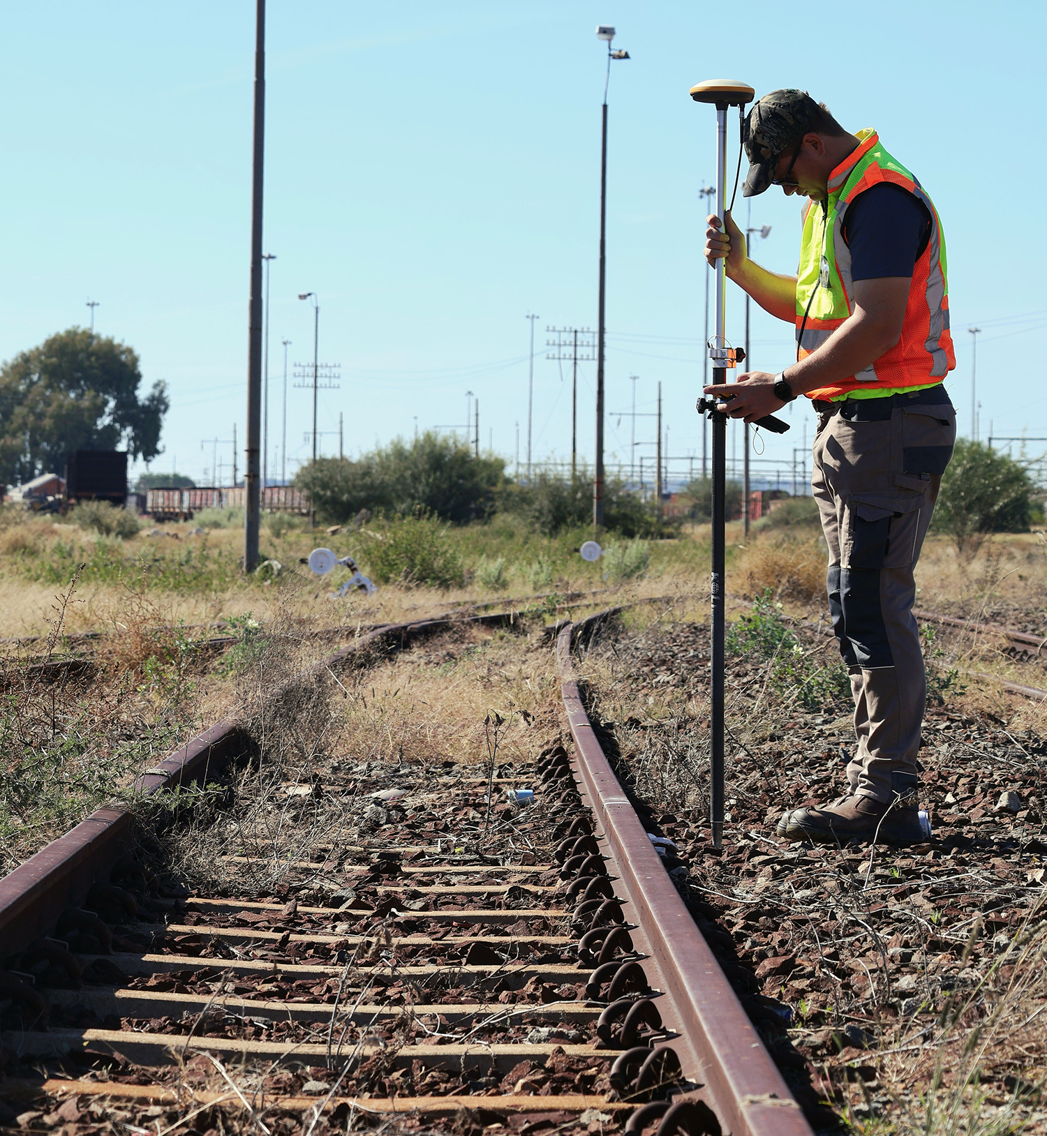
Topographical, construction and aerial photogrammetric surveys for engineering,
mining, development and infrastructure projects.
From conventional setting-out and level verification to large-area drone surveys, terrain
modelling, orthophotos and 3D photogrammetry, FSP Projects delivers accurate
survey information in formats ready for design and construction.